I’m writing about St Peters now in brief retrospect, as once again it seems that time flies at Mach speed this summer, as we make our way across Nova Scotia’s northern Highlands. For the first time in almost three weeks, yesterday we beat into a stiff 15 knots of WSW wind to go west of all directions, to check out parts of Bras D’Or lesser traveled.
But now let’s travel back a few days to how we first arrived in St Peter’s:
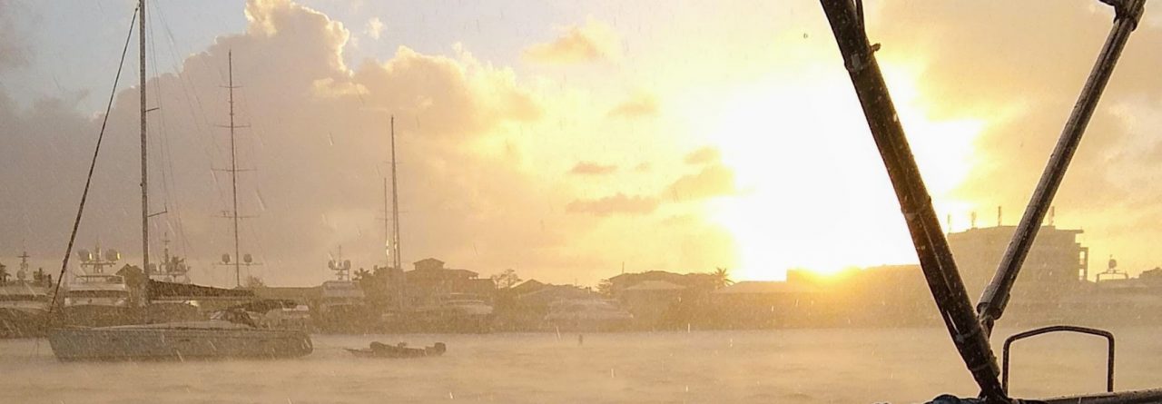
Throughout a dense-fog morning, meandering the inside route from Louse Harbour, past Andrew, Piscataqui and George Islands, the gloomy thickness lifted just as we approached Canso to port. Then we opened up the genny catching the prevalent SW breeze for a NNE run out and across the shipping lanes entering the Straight of Canso with 3 foot seas and a joyous 15 knots filling our genoa.
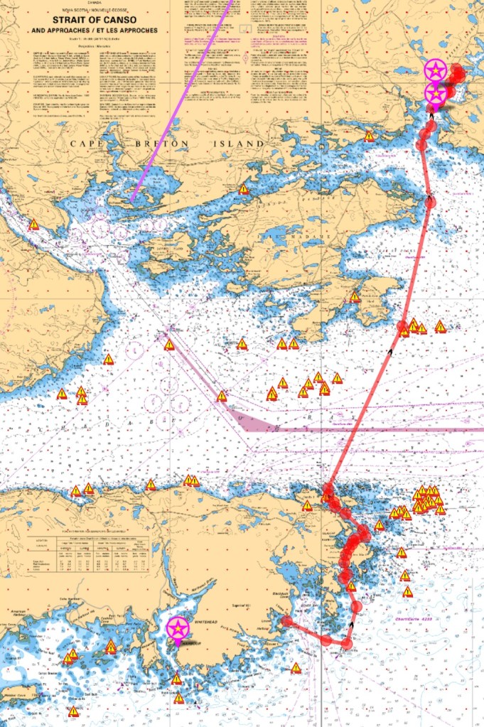
After sailing “forever” on fog-filled day-hops across the southern tier of Nova Scotia, we figuratively gave each other a pat on the back for officially reaching Cape Breton Island waters. We’re excitedly anticipating being free of the fog and into warmer waters.
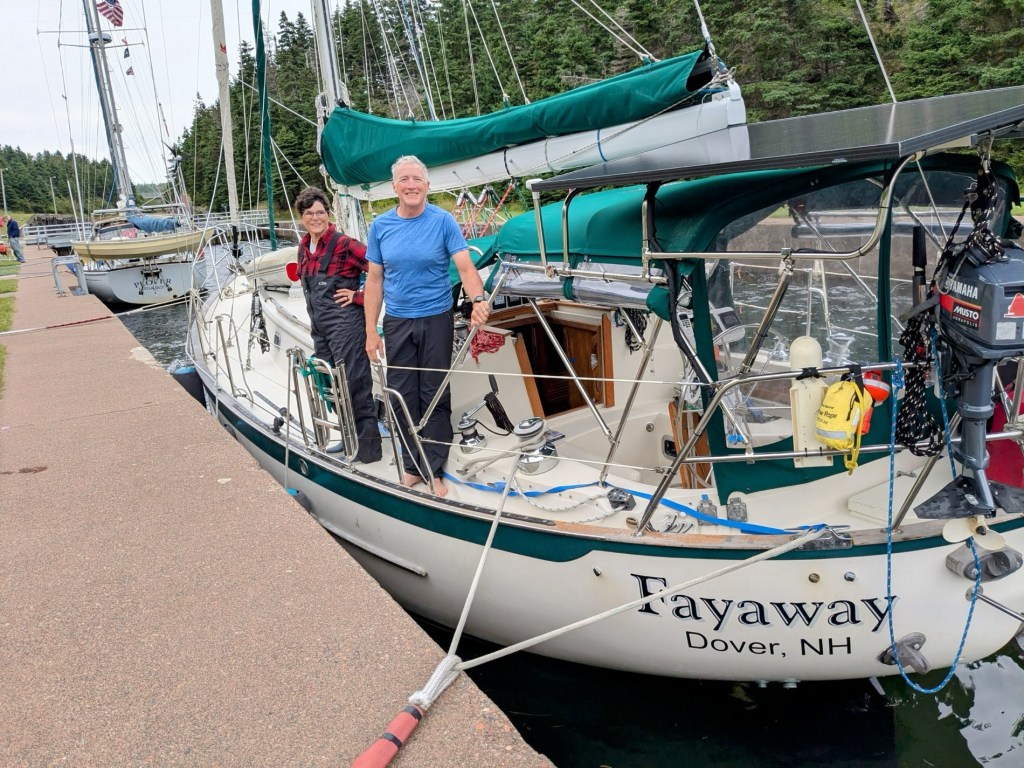
About a mile out from St Peters Canal I radioed “Good Morning” to the canal operator on Channel 10, who replied that our timing for entrance was good, offering instructions to follow behind (our “buddy” boat) Plover and to tie up on the port side.
Friendly shore hands happily grabbed and helped tie our lines for the brief interlude between locks.
After barely any water movement, and moving down the wall only a foot or two, a bit more waiting… waiting for the workers to open the nearby road bridge. Fayaway was released into the Bras D’Or Lakes!

Pre-canal, the location was a popular portage road, where cargo was unloaded, carted and then reloaded onto a second waiting ship. Construction of the St Peters Canal was started in 1854, as a shortcut through the protected Bras D’Or lakes from the south (northern end is open to the ocean). After 15 years of cutting, blasting and drilling through solid rock, a tidal lock was finally installed in 1869. The tidal range is a barely greater than two feet. Why locks? One side or the other can be higher depending on the time, making for a nasty current.
Today St Peters Canal and the Canso Canal are the only operating canals east of the St Lawrence River.
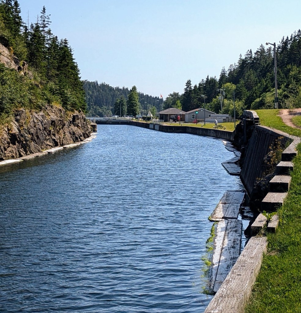
A few modifications have been made (including five complete road-bridge replacements) since its original construction, but these have not improved the steep rough-hewn rocky walls. As Fayaway exited the locks and proceeded north through the open road bridge, we wondered…
Q: What are those floating wooden platforms along the walls? A: According to St Peters Marina infamous manager Gerry Gibson, “They’re to protect the walls from ice flows, helping to reduce erosion, and a double as nice fenders for boats too.”
Just after passing through the open bridge, it was only another half mile or so to the marina where we picked up a mooring, settled down, and opened up the bilge, producing celebratory malt beverages.


Tomorrow we check out some new surroundings of Cape Breton Island! By the way, Gerry G is a friendly and interesting person to meet and make small talk with. He’s rich with local knowledge and people in the region. Don’t pass through here without saying hello and hearing some of his stories.


Nice post. More please!
LikeLiked by 1 person