
Warning: I’m becoming more fond of another piece of useful software, and hence this post. If expecting another adventure story, you are now likely reading of one of those boring technical topics. Thanks for your patience while I work on more sailing/travel related posts! 🙂 More coming!
Weather forecasting technology is quite fascinating these days. I’m continually amazed by updates of available data from the better known apps, such as Predictwind and Windy.
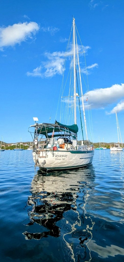
It was almost two years ago that our good friends Tom and Sue delivered our Starlink satellite transceiver to Fayaway anchored in Simpson Bay, Dutch Sint Maarten. It was a momentous occasion – foremost because good friends came to visit, but to a lesser degree, we launched into a new reality of communication ability. While Elon often tweaks pricing plans, we have continually been connected with breakneck speed. And best of all, we can always receive premium weather forecast data.
GRIB, or "General Regularly-distributed Information in Binary form," is a data format maintained by the WMO. It is used mainly for encoding outputs from meteorological models. It is a table-driven, binary format, designed for efficient transmission, storage and processing by computers. (From fwd.de)

The World Meteorological Organization (WMO) is a United Nations (UN) agency that focuses on the Earth's atmosphere, climate, and water resources.

We initially became good customers of Predictwind, then adding the extra fancy features such as weather routing, ocean currents, etc, and on an annual unlimited plan, mainly due to their cost-effective bundling with the Iridium Go! satellite system. And that little gadget, with its SIM card and excruciatingly slow download speeds was the only reliable game in town. We could download a three day forecast of our location in as little as ten minutes. We could make expensive phone calls and download email too. (But please don’t attach pictures!) And about 50% of those downloads would work in a single try! Yup, do you recall those 2400 bps baud modem days? Amazing that we lived through it!
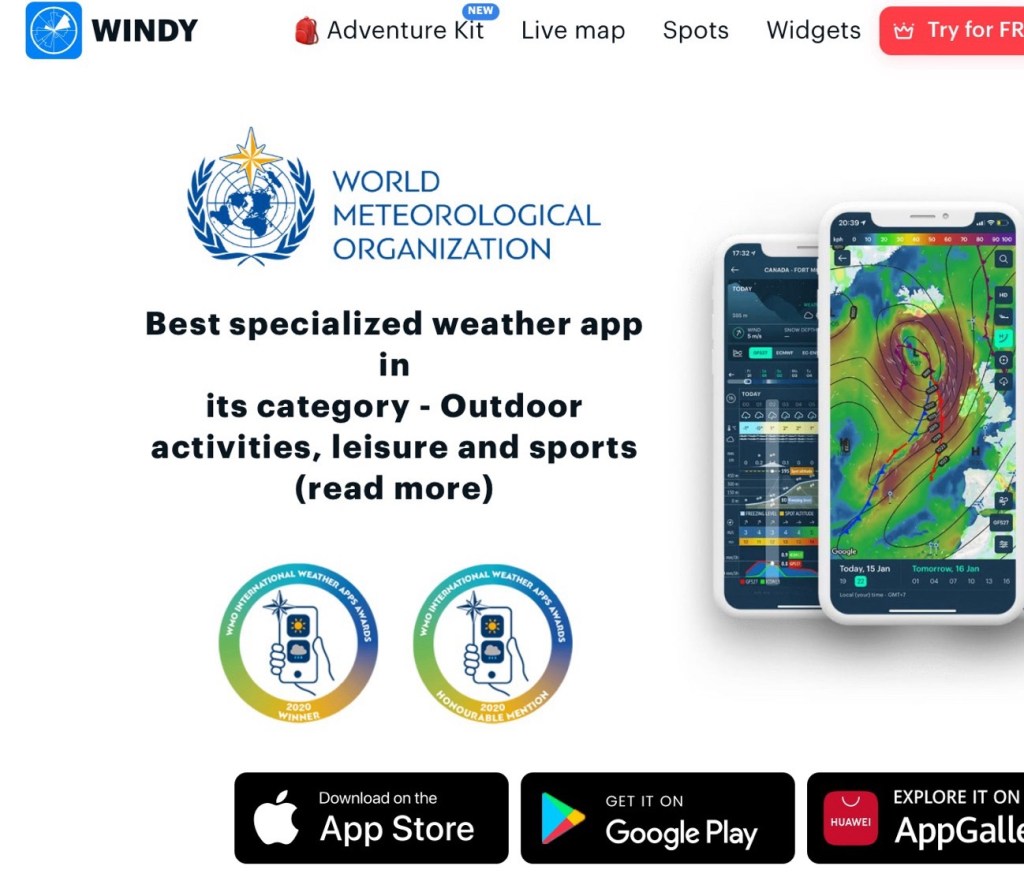
Anyway, that’s not what I meant to ramble on about here. So with that background in mind, suffice to say that we have superior download ability while aboard Fayaway, and so can utilize data-hungry apps, such as Windy. The “pro” version of Windy is dirt-cheap, and lets you do basic routing, which I think is practically as good as Predictwind routing. We started using Windy off the boat too.
But then a friend turned me on to another level of weather routing, mainly for less frequent offshore passage planning. LuckGrib.
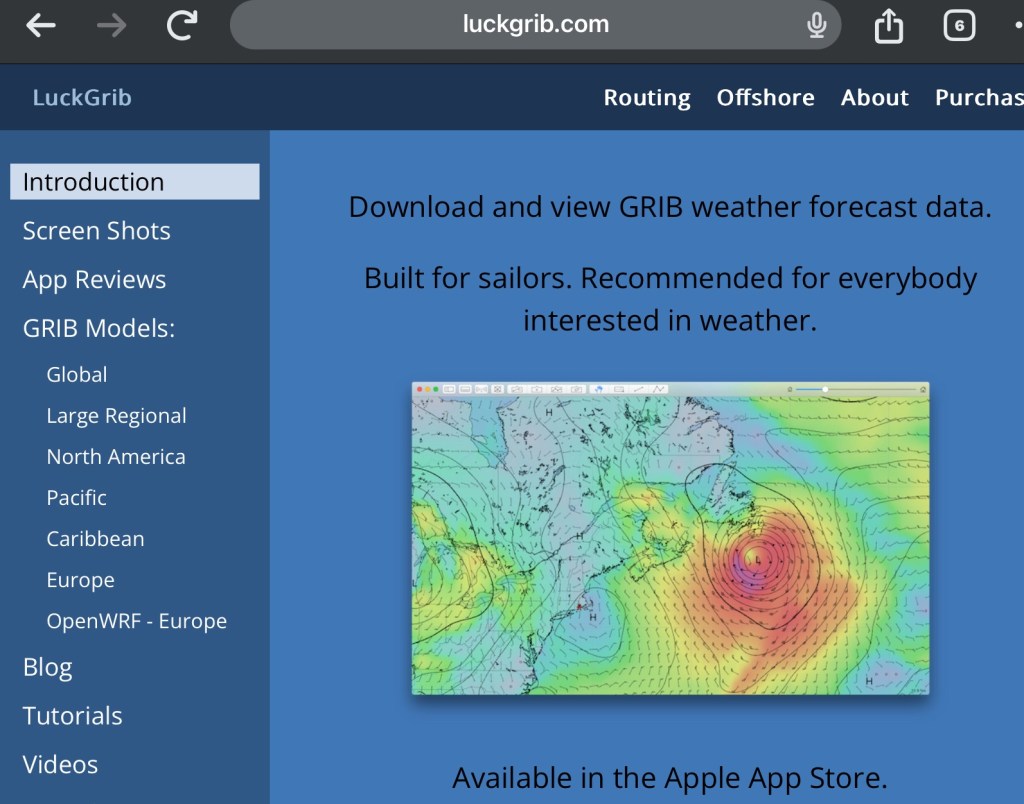
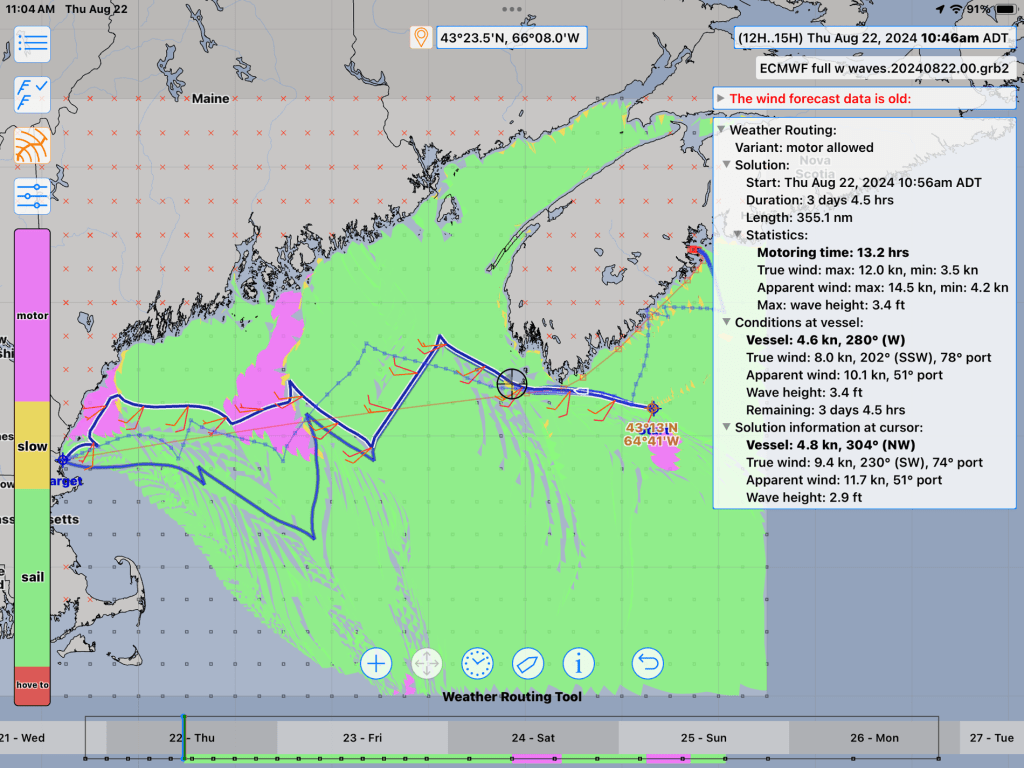
LuckGrib only works on Apple devices, which may turn off a few PC/Android-only folks. But I use my iPad almost continuously anyway for routine passage planning (see xxx post). This bit of kit starts out free with a trial period, with which I started fiddling last summer while bouncing up the coast of Nova Scotia. It didn’t take the full two-week trial to end before I sent them the minimal fee for a lifetime subscription. It’s that good.
But let’s be realistic. It’s not magical. It can’t take responsibility for the crappy weather, or your bad input, or especially your bad judgment. LuckGrib simply interprets and displays grib file data derived from several worldwide weather forecasting networks. Its magic is solely in how it crunches the data into a graphically-friendly manner, and easily customizable interface. It focuses on the details you set for your vessel and how you sail.
If you were now expecting a basic lesson on how to plan weather routing, or more details of how LuckGrib functions, you’ve come to the wrong page. I’m just figuring it all out myself. But I can say that I’ve tried a few others, and quickly gave up before getting nearly this far along. And I’ll likely keep using LuckGrib for future planning. That is, until something really magical comes along.
Example of what I’m talking about…
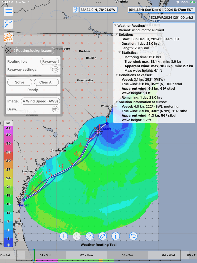
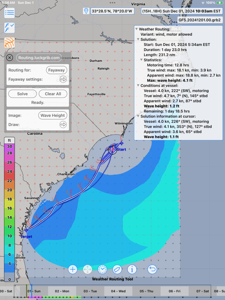
Shortly after beginning a recent 350 nautical mile offshore passage from Beaufort (North Carolina) to Brunswick (Georgia), I began downloading data (within the app) about every three hours, to allow for any significant late weather updates. I mainly used the Euro and GFS data, along with wave height. Downloads of this reasonable size now take about one second!
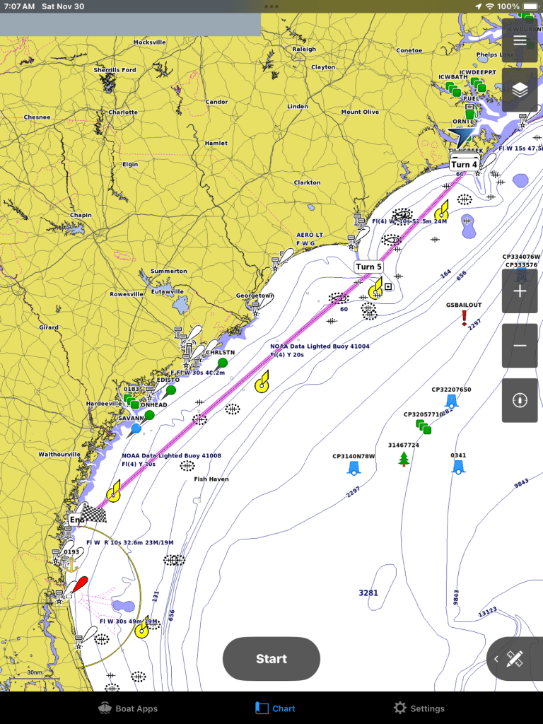
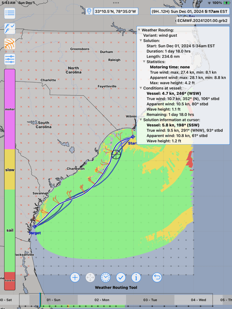
Ok, ok, I’ll stop gushing. Again, to be realistic, we must stress that the old mantra is valid: Garbage in, Garbage out. Countless tries of tweaking Fayaway’s and my sailing preferences were needed to make anything usable. The passage above was fairly simple. Wind was generally out of the northwest for the entire passage, while sometimes making for very tight beating upwind. Variations from the predicted involved sometimes motoring when it was not expected, and sometimes brisk sailing when only foretold of motoring. No biggy.

My takeaways are mainly the confidence booster in attempting to avoid a less comfortable passage. Or simply another verification of proper planning.
Wishlist?
- Wave data can be downloaded and displayed, but it has no effect on the calculated passage timing or routing. I wrote to the developer to inquire, and he suggested using alternate polar inputs (LuckGib does easily allow – if I remember to use.) Using polars does make sense, thinking of it as simply a self-imposed de-rate). Anyway, it would be nice to have the routing calculation include on the fly.)
- I haven’t figured how to show gusts. These data can be downloaded and included in solutions, but not displayed. While I was aware of the gusts expected, it was mainly because I was also consulting Windy, which clearly shows these hi-lights. Since gusts ARE present, shouldn’t this be a default route solution?
Fortunately, we so easily forget about unpleasant passages in our tumultuous North Atlantic, once safely anchored in calm water.

Although I may not read these posts in depth, I do feel even more admiration for you and Kelly for the knowledge and experience you need/have for living your adventurous lifestyle. Remarkable. P. S. We also have Starlink; valuable indeed for our ‘remotish’ location. Happy holidays!
LikeLiked by 1 person
Btw, I read the other posts (less detailed) in depth, fyi . I’m sure these are helpful for other sailors. I’m a weather underground girl myself or go directly to NOAA but my needs aren’t the same. Just sayin’
LikeLiked by 1 person
Thanks for your kind comments. Happy Holidays to you guys too! 🎁
LikeLike
The next generation:
https://deepmind.google/discover/blog/gencast-predicts-weather-and-the-risks-of-extreme-conditions-with-sota-accuracy/
LikeLiked by 1 person
Very interesting! Thanks for sharing. 🙂
LikeLike
Just to be clear, Windy just uses the existing prediction models (GFS, EMCF, ETC). Boring. Windy also does rudimentary routing. LuckGrib focuses completely on weather routing, also using aforementioned grib data models. The Deepmind article looks at an exciting new prediction model, which maybe the apps will hopefully allow us to download.
LikeLike