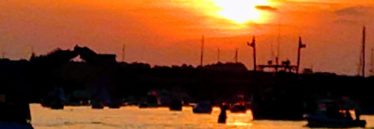
After spending a couple recuperating days visiting St Peters, reprovisioning and enjoying conversation with the jovial Marina manager Gerry, we cast the mooring line, meandered back east past the canal entrance and on toward the larger portion of The Bras D’Or Lakes.

Adapted from various sources:
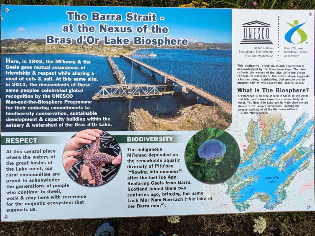
Called locally: The Bras d'Or Lakes. (Pronounced Bra Door).
Maps before 1872 name it Le Lac de Labrador or more simply Labrador). Labrador was the name given by the Portuguese to much of eastern Canada. It meant farmer or laborer. An error of folk etymology, the present name is spelt to resemble the French language “Arm of Gold”, a homonym.
In native Mi'kmawi'simk language the lake's name, Pitupaq, refers to the brackish waters, meaning the long salt water.
So now we kick off our long sought after adventure… Our big plan on a larger time scale: Since prevailing winds are SW, and their strength a diurnal pattern (increasing into afternoon and decreasing into evening), we’ll take this morning’s reprieve to head out of the St Peters area and initially into West Bay (against lighter prevailing wind), then work NE eventually making our way up St Andrew’s Channel. Late August cooler weather will make it known that it’s time to head south again. At least that’s the plan made in the sand at low tide.
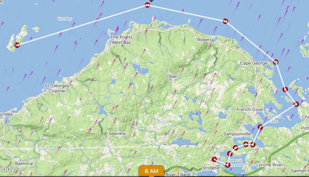
As we meandered into the big lake, and slowly turned west, we picked out a couple potential overnight spots and begin our stay.
“Why isn’t it marked as an anchorage?”, Kelly cited her mild concern. I responded, “Gerry said we can drop the hook almost anywhere that looks attractive.”
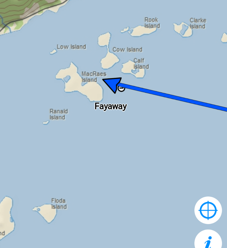
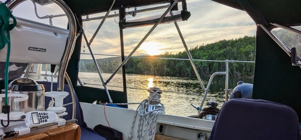
And so on we motored deep into the western reaches of Bras D’Or, breathing deeply the soft clean balsam scent, into a little cove and dropped the trusty hook into clear water, where we can clearly see a bottom of sandy/mixed-shell mud in the eastern lee of MacRaes Island.
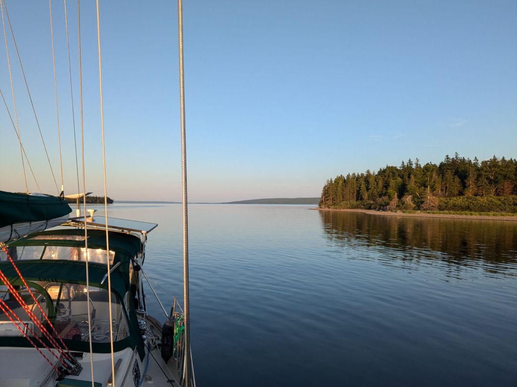
In the morning we only hear the relatively silent “electric paddle“, then beached Korykory, threw his baby anchor high into the sand, and took a long stroll just above the negligible high tide line. (Tidal levels are almost nonexistent- only a foot or two, just like the Caribbean!)

We set off to meander along the mixed sand/gravel shoreline. However at several points in our walk, trees hung low over the water, as resistant gatekeepers. Eventually we reached a point preventing further progress without a fight. Not bringing armaments of machete nor saw, I climbed up onto the bushy embankment, looking for any path around via the virgin scrub forest, mixed ferns and tall grass. Again not equipped for bushwhacking we gave up with a leisurely U-turn, backtracking past our landing point and beyond. Soon our rising sun signaled “it’s past lunchtime” and the island now seemed larger than our willingness to traverse. So back to Korykory waiting for us on the beach.

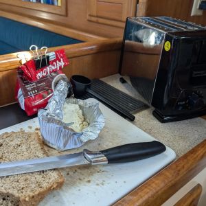
Lunchtime over now, what to do? Perhaps a nap or a book? Nah, I keep going with little projects, such as measuring and splicing eyes into dyneema lines for shore-tie-ups. One of those things you hope you don’t need, but our adventures could indeed find some future need.!

Before setting off after two relaxing evenings, we sip coffee, check the weather and ponder where to anchor next.
Today the SW wind was predictably yet comfortably strengthened, so we picked our next spot along the northern mainland shore deep into another cove past Militia Point and into the Malagawatch area. Fayaway’s bow pushed into the wind until Kelly dropped her 55 pound Spade fifteen feet into a muddy bottom.
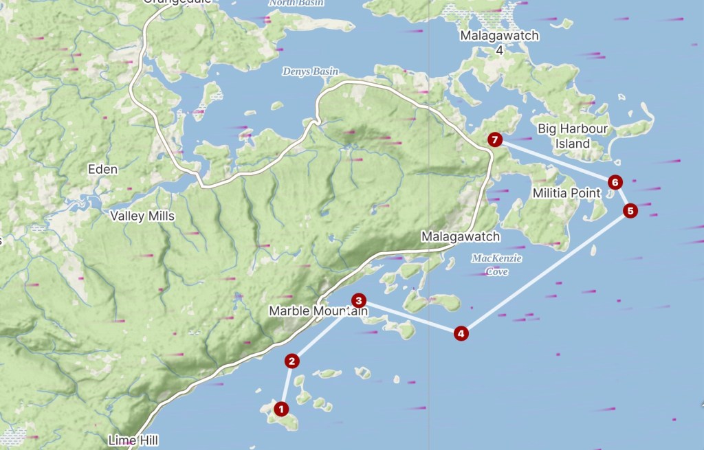
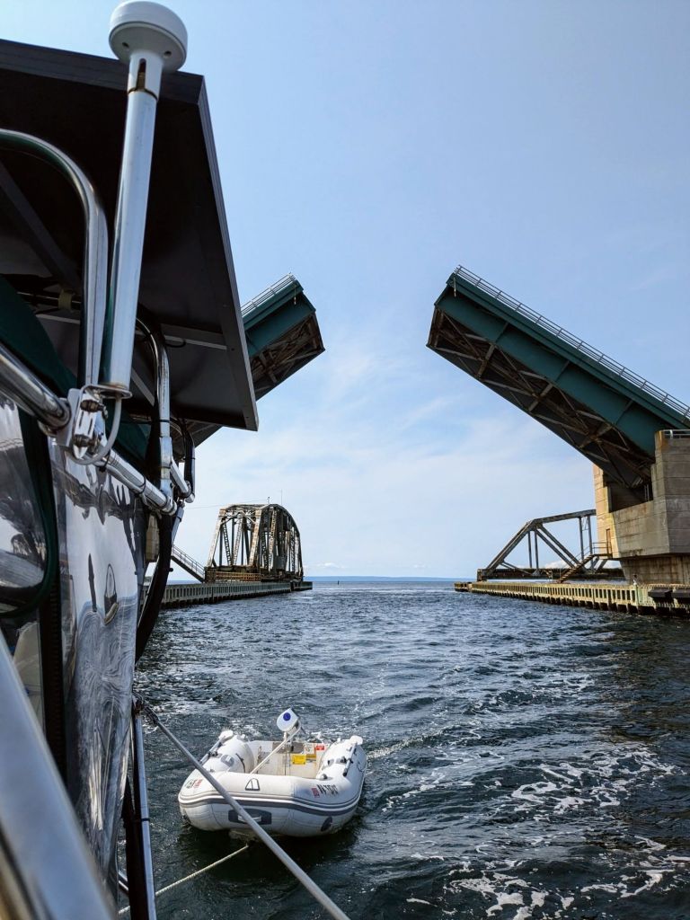
This place was ok, but not exciting enough, so tomorrow we move onward, to the tumultuous Barra Strait and the Grand Narrows bridge at Iona.

The Grand Narrows Railway bridge was a major feat of engineering in its time due to it’s length (nearly a mile), depths and currents in the Barra Strait (almost 90ft), and the prevalence of ice during the winter and spring breakup.

A five-car special train carrying the Governor General of Canada, Lord Stanley, was the first to cross when it was completed in 1890. Lord Stanley was one of the original inductees into the Hockey Hall of Fame and is known to hockey fans worldwide for donating a silver punch-bowl to be awarded to Canada’s top-ranked amateur ice hockey team each season. (We know this as The Stanley Cup).
The government of Nova Scotia offered a small ferry service for other vehicles across the water, for the next 146 years until 1993, when the Barra Strait Bridge was constructed.
So, just to keep things sorted, now in 2024, the Grand Narrows Bridge is now defunct and so is permanently open. It is the newer double-bascule Barra Strait bridge that opens for us weary sailboats. (We’ll return again heading south through this area, in a later post, anchoring just around the corner in the “port” of Iona.)
Our next stop was Maskell’s Harbour, known to the older generation as Boulaceet.
More than a century ago, members of the widely-known Cruising Club of America (CCA) conspired in lengthy discussions while anchored at Boulaceet, aboard the yawl Elsie in 1919. The CCA was formed shortly thereafter in 1922.
Fortunately for all of us cruisers the surrounding properties have been since acquired and protected from any future development.
We hope you’re enjoying your summer!
Next up: Becoming friends in Baddeck, Washabuck River, Deep Cove and The Highlands Park by automobile!
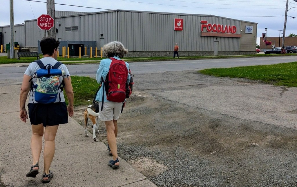
Provisions retrieval back in St Peters combines much needed exercise!

A sailing blog with a dash of hockey trivia. Nicely done
LikeLiked by 1 person
You know, when in Canada… some mention of hockey is always appropriate!
LikeLiked by 1 person
You two are fantastic! Love your commentary…
LikeLiked by 1 person